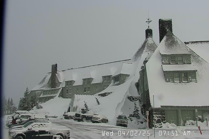
This camera provides views of the Mt. Hood National Forest and
Mt. Jefferson to the south. The camera is near Government Camp, Oregon.
Map location for camera:
Lat. 45.3308N Long. 121.7114W
Camera courtesy of USDA.
National Weather Service
7 Day History for Mt. Hood, OR.
Elev: 5400 ft; Latitude: 45.32; Longitude: -121.72
NWAC - Northwest Avalanche Center
Scalable History for Top of Magic Mile chair, Timberline, Oregon.
Click into chart and use mousewheel or pinch the chart on a touchscreen.
Elev: 7000 ft; Latitude: 45.3453; Longitude: -121.7111
(Click the reload button for the most recent image.)