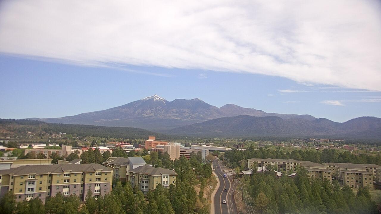
Looking northwest towards the 12,600-foot San Francisco Peaks at an elevation of about 7,100 feet.
Map location for camera:
Lat. 35.1805N Long. 111.6549W
Camera courtesy of
Northern Arizona University
National Weather Service
7 Day History for Flagstaff, AZ airport - 9 miles south of Flagstaff
Elev: 6923 ft; Latitude: 35.2762; Longitude: -112.0632
(Click the reload button for the most recent image.)