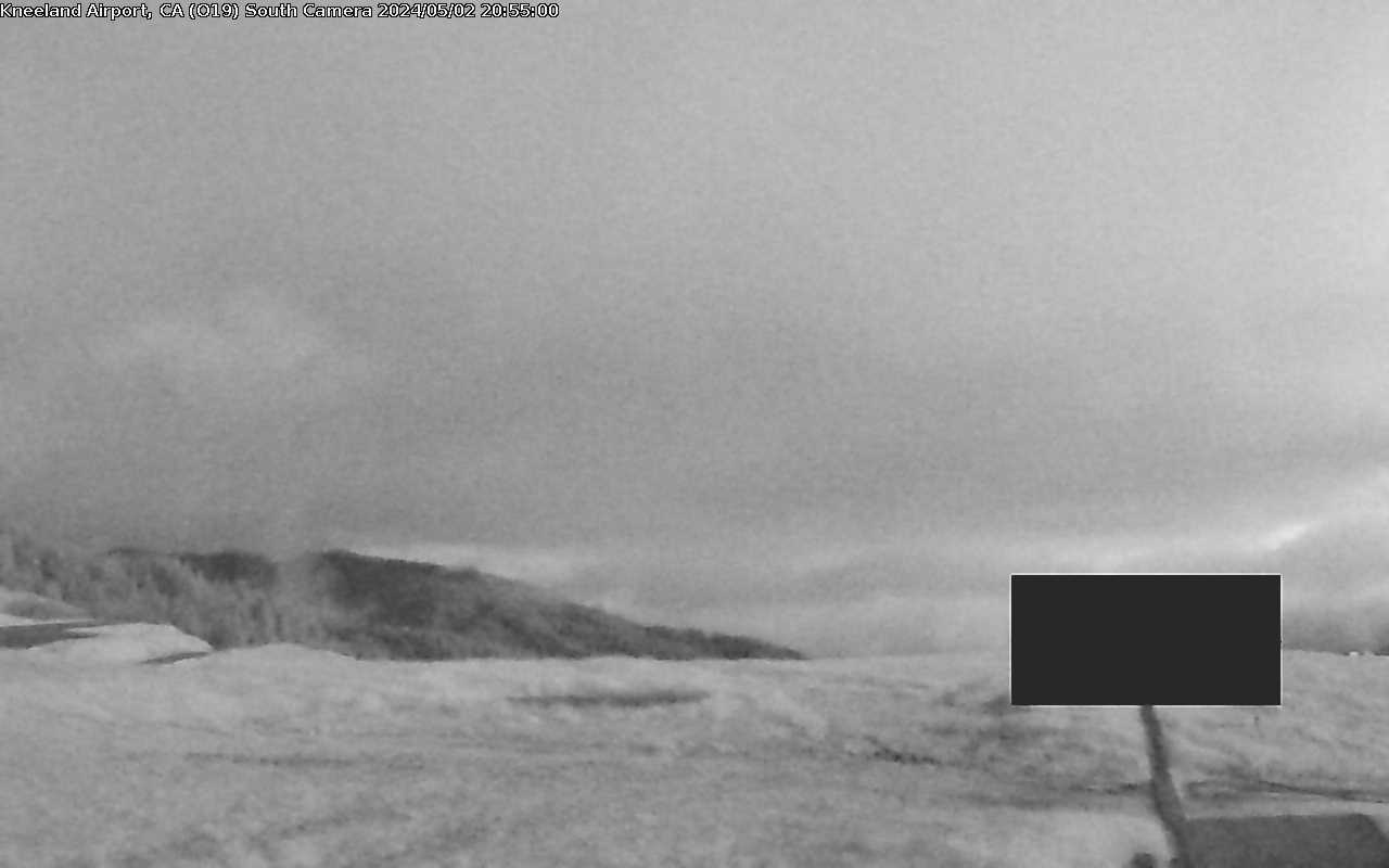
This camera is located at Kneeland, California, about 14 miles east of Eureka, California.
The view is at an elevation of about 7 feet.
Map location for camera:
Lat. 40.7191N Long. 123.9275W
Camera courtesy of
Inn of the Lost Coast Shelter Cove
National Weather Service
7 Day History for Eureka - Arcata Airport, CA. 16 miles north of Eureka, CA.
Elev: 217 ft; Latitude: 40.97806; Longitude: -124.10861
(Click the reload button for the most recent image.)