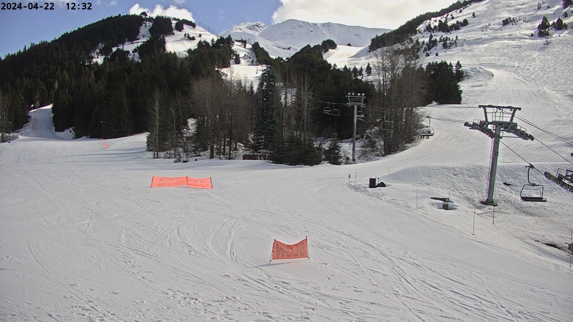
View from Alyeska Ski Resort looking southwest across Turnagain Arm.
Map location for camera:
Lat. 60.9586N Long. 149.1100W
Cameras courtesy of
Alyeska Ski Resort
National Weather Service
7 Day History for History for Indian Pass, AK. about 16 miles west of Alyeska Resort.
Elev: 2350 ft; Latitude: 61.06767; Longitude: -149.4795
(Click the reload button for the most recent image.)