
Vicinity Location:
About 36 miles northeast of Portland, OR in the Columbia River Gorge.
Directions:
From Portland, Oregon, there are two ways to drive to the trailhead. If you have an extra 30 minutes then make your trip a loop drive. For the loop drive, take I-205 north across the Columbia River. Exit I-205 on HWY 14 east for about 35 miles to junction of Hwy 14 and Bridge of the Gods. Drive 1.5 miles farther east and turn left onto Rock Creek Road and follow the rest of the directions from Rock Creek Drive.
For the non-loop option, take I-84 east from Portland and take exit #44 for Cascade Locks. Take the first right turn, just after you go under the Bridge of the Gods. Pay the $3.00 toll, cross the bridge, and turn right onto Hwy 14 and drive 1.5 miles east and turn left onto Rock Creek Drive.
Drive on Rock Creek Drive about .3 miles and turn left on Foster Creek Road, which is the first county road on the left after Skamania Lodge. Drive .8 mile up a hill on the paved road until you see the power towers. The road turns into SW Ryan Allen Road. Turn left on Red Bluff Road and drive under the powerlines. Continue .3 mile on the paved Red Bluff Road, crossing on a one-lane bridge over a creek. Just past the one-lane bridge, turn right where it says Marantha Road Private and drive off the pavement and onto CG2000 for .3 mile.
At the next junction you should see a sign for CG2020 and CG2000. Take the right fork on CG2000. Continue left past the next main junction, CG2030, and continue another 5.1 miles to a bridge over Rock Creek. The road gets narrower and bumpier as you drive along. A view of Steep Creek Falls spilling into Rock Creek is across the road at the bridge. Continue 2.6 miles past the bridge to an unsigned parking area, which is a dirt/grass spot just off the right side of the road and just past where the Pacific Crest Trail crosses the road.
To return, take Hwy 14 east and cross the Columbia River at the Bridge of the Gods. The toll is $3.00 for the bridge. After the bridge, the road loops around and intersects Hwy 30, Cascade Locks Hwy, near the base of the bridge. Turn left here and you will merge onto I-84 west in about ½ mile. Follow I-84 west, back to Portland.
Discover Pass required to park at this trailhead.
Pets allowed. No bikes or motorized vehicles are allowed on the Pacific Crest Trail.
You can use Google Maps with this link.
No bathrooms are available at the trailhead.
Length and Elevation:
6.9 miles roundtrip. Elevation at the trailhead is 1,440 feet. Total gain is 2,360 feet and loss is 2,360 feet. Highest elevation is 3,123 feet and the lowest elevation 1,417 feet.
Trail:
Pacific Crest Trail #2000, Snag Creek Trail
Trail Maps:
Topo Map, Download Garmin .gpx file, Open Garmin .gpx file
Review: July 27, 2024.
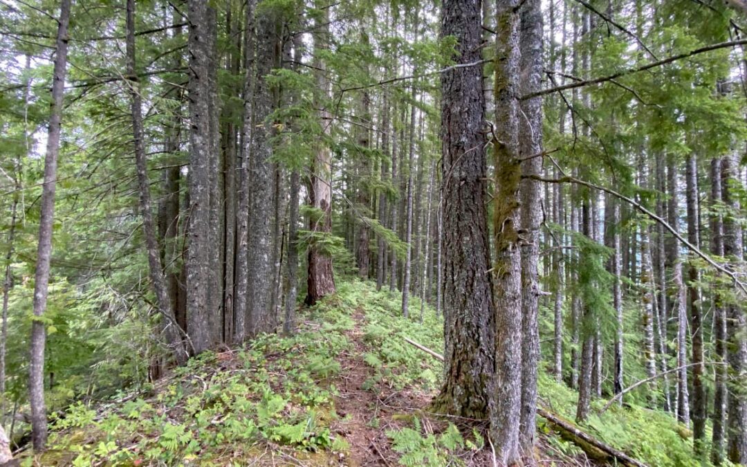
From the parking area, walk downhill about 100 feet and take the PCT from the right side of the road. The well maintained trail drops gently through the forest to a crossing of Snag Creek where there are plenty of rocks to hop across during the low-water months of summer.
From here, gently ascend about 0.1 mile to the junction for the Snag Creek Trail leading off to the right. There is an old DNR sign on the ground.
Start climbing the trail along Snag Creek for about 0.3 mile to road CG-2071. Most trail maps show the trail crossing the road which is wrong. Turn left and walk uphill about 350 feet to the continuation of the Snag Creek Trail. Someone has put up a new sign in 2024.
Continue up the trail through an old clear-cut and a field of tall bracken ferns. The trail soon goes into the forest along the edge of the clear-cut where it is easily followed. The trail steepens as you follow a ridge above Snag Creek but soon leaves any views of the creek. Navigate several steep switchbacks and gain about 1,300 feet in less than 2 miles. The trees are a mix of cedars, hemlocks, and silver firs. Along the trail is an old milepost installed by the Boy Scout Troop that built the trail.
The grade lessens and vine maple, beargrass and huckleberries become the main ground cover. The tread is harder to follow as people have lost the trail over time and there are other paths that look like the trail.
In a beargrass meadow is a Milepost 1 marker and from there the trail steepens again for the final push to Forest Road 41, or Lookout Mountain Road.
From here the grade steepens again and gains another 400 feet up to the road.
If you have time you can turn right here and walk to the Pacific Crest Trail on the old road and take the PCT back down to the start point.
Otherwise, return the way you came back to the parking area.
Enjoy the photos!!
Gallery Pics
Switchback Steve

Recent Comments