Vicinity Location:
The trailhead is about 38 miles southeast of Portland, Oregon in the Mt. Hood National Forest.
Directions:
From Portland take I-84 East to the Wood Village, exit (16A). Head south and turn left onto NE Burnside Rd. Heading East, Burnside will merge into Highway 26.
Follow Hwy 26 for 27.2 miles to Zigzag and turn right into the parking lot for the Ranger Station. This is about 0.2 mile after the intersection of East Salmon River Road.
Park at the Zigzag Ranger Station where there are bathrooms that are only open when the Ranger Station is open.
No permits are needed to park.
Length and Elevation:
Elevation at the trailhead is 1,500 feet. Total distance is 11.8 miles though the trail continues to Devil’s Peak Lookout.
To the turnaround point the total ascent is 3,449 feet and 851 feet descent. Highest elevation is 4,070 feet. Total ascent is 4,140 feet and total descent is 4,140 feet.
There is at least one geocache for this trail at: N 45° 19.963 W 121° 56.561 Info at Geocaching.com.
Trail Maps:
Topo Map, Download Garmin .gpx file, Open Garmin .gpx file
Review: November 5th, 2019
Near the southeast end of the parking lot is the marker and trailhead for Hunchback Mountain Trail #793. The trail starts climbing right from the trailhead under western red-cedar, Douglas-fir, hemlock, and maple trees. After a couple of switchbacks there is a spring with a small concrete dam that was once used for the water supply for the Ranger Station. Continue climbing up through old growth trees in the green forest. You may be able to spot a large old stump that has springboard slots cut into it. This was an old logging practice where the sawyers stood on boards a few feet off the ground so they could chainsaw the tree above the bulge of the roots and get a straight tree trunk for the sawmills.
You soon enter the Salmon-Huckleberry Wilderness and after climbing a couple dozen switchbacks through the thick forest you finally crest the first hump of Hunchback Ridge. The elevation here is just under 3,000 feet and about 2.25 miles from the trailhead. All the views are seen through a thick hemlock forest. The undergrowth here is rhododendrons and salal.
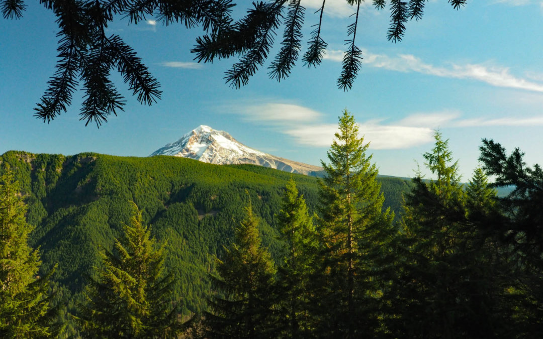
Climbing up another knob along Hunchback Ridge you should see a small rock cairn marking the junction of a user trail. This Rockpile trail sign is hard to see because it faces the other way. This trail climbs up onto a large rockpile of boulders with nice views of Mt. Hood. As you come out onto the boulder field take a look back to remember where you left the forest so you can find the trail and return to the Rockpile trail junction.
After the Rockpile junction the trail drops a bit then makes a sharp climb up to a more level area of the ridge. The pleasant forest here is a joy to walk through. Continue along the spine through the forest on Hunchback Mountain. There are fairly level areas and places where you climb fairly steeply over the various knobs along the way. The forest is mostly hemlock with a few Douglas fir and cedar trees mixed in.
As you get higher the undergrowth thins to be sparse groupings of rhododendrons, salal, and Oregon grape. Continue upward until you finally reach the summit of Pyramid peak, but if you continue to the Great Pyramid overlook you come out spiny rock ridge with sharp dropoffs. Experienced hikers who aren’t afraid of heights can scramble down a bit to a steep mountain meadow with views to the south. If you know where to look you can see Olallie butte and Mt. Jefferson.
Continue upward until you reach the forested summit of Great Pyramid. Trees block the views but if you go about 200 feet you reach the junction for the Great Pyramid viewpoint. Follow the user trail and stay on the left of the spiny ridge and, carefully pick your way down the steep brushy slope and you’ll come out to a tiny hanging meadow with views to the south of Devil’s Peak. If you know where to look you can see Olallie Butte. Looking northwest are view down the valley towards Gresham.
On the way back you might see the sign for Helispot 260. You can follow a way trail up to the knob at the top but there is very little to see because trees have grown up to screen any views.
Enjoy the photos!!
Gallery Pics
Switchback Steve


Recent Comments