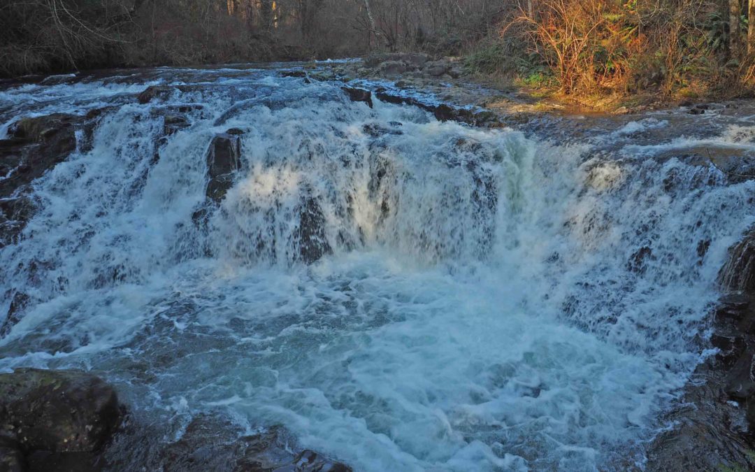
by Steve Jones | Dec 30, 2021 | Dayhikes, Hiking
Vicinity Location: The trailhead is about 26 miles northeast of Portland, Oregon in the Yacolt Burn State Forest. Directions: From Portland drive North on I-5 from Vancouver and take exit 11 then turn right and take highway 502 5.8 miles to Battle Ground. You can also...
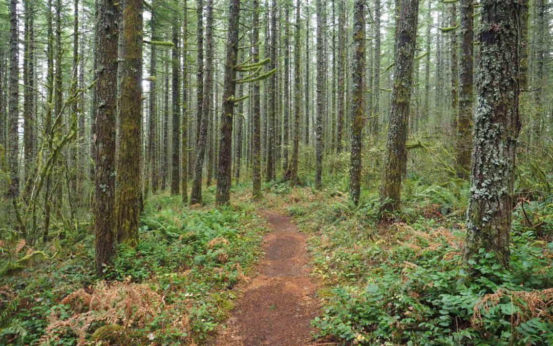
by Steve Jones | Dec 29, 2021 | Dayhikes, Easy Hikes, Hikes with Kids, Hiking
Vicinity Location: The trailhead is about 26 miles northeast of Portland, Oregon in Clark County. Directions:From Portland, OR, take I-205 north to exit 30b to Battle Ground. Move over to the middle lane and proceed north on SR503 for about 10 miles to Battle Ground....
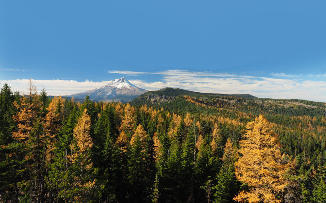
by Steve Jones | Dec 28, 2021 | Dayhikes, Hiking
Vicinity Location:About 54 miles east of Portland, OR in the Mt. Hood National Forest.Note: This trailhead is inaccessible in the winter because Forest Road 44 is not plowed to this area. Directions:Drive south on Highway 35 towards Mt. Hood for 25.4 miles. Turn left...
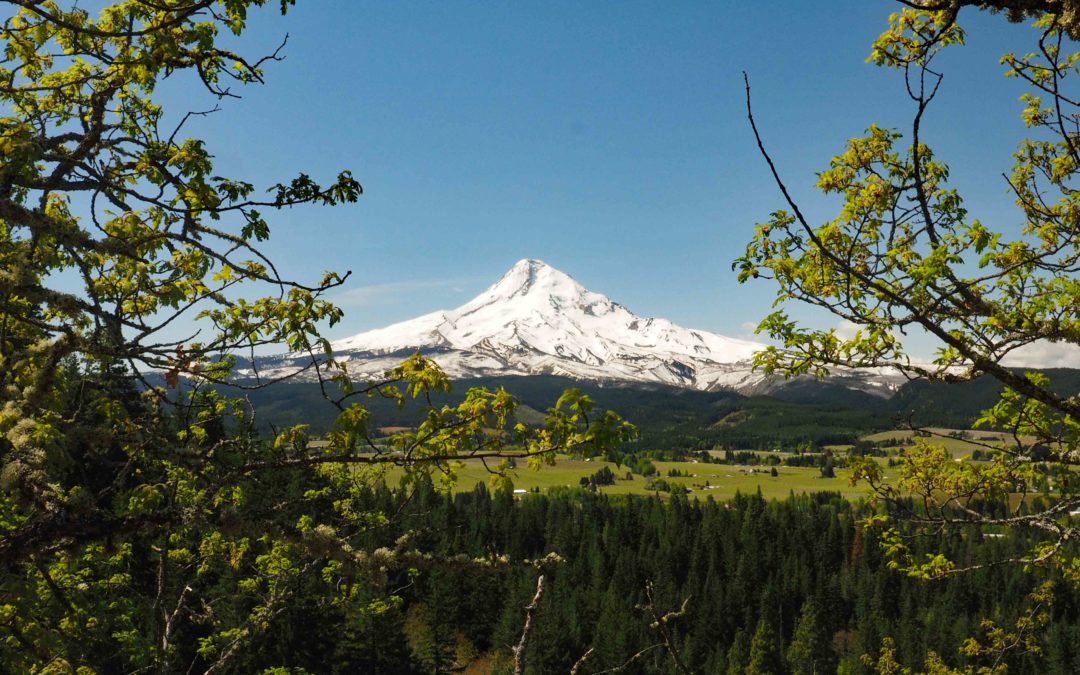
by Steve Jones | Dec 26, 2021 | Dayhikes, Hiking
Vicinity Location: The trailhead is about 54 miles east of Portland, Oregon in the Mt. Hood National Forest. Directions:From Portland take I-84 E for about 55 miles. Take Exit 64 for the Mount Hood Hwy, OR-35 towards White Salmon/Govt. Camp and at the bottom of the...
by Steve Jones | Oct 5, 2021 | Dayhikes, Hiking |
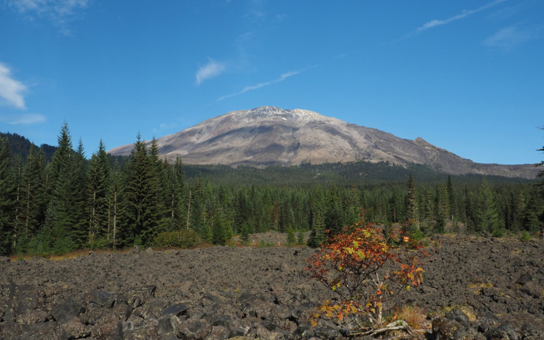
Notice: 6/1/2023 – Portions of the #204 Cinnamon Trail, #238 Toutle Trail, #242A Kalama Falls Trail, which depart from the horse camp trailhead, remain closed. To view the map of the remaining closure area, click here.Vicinity Location: The...
by Steve Jones | Aug 13, 2021 | Dayhikes, Hikes with Kids, Hiking, Metro Area Hikes |
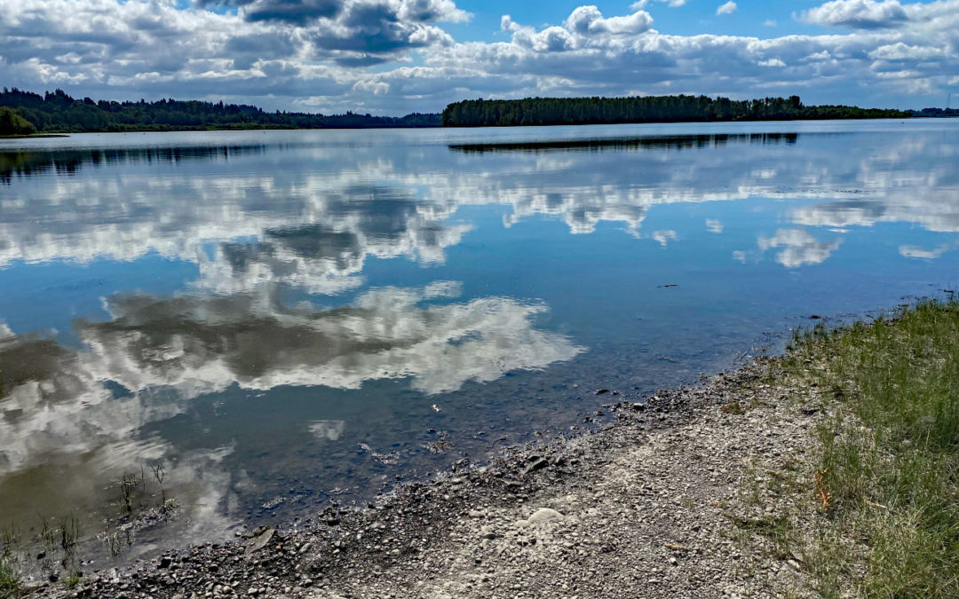
Directions from Portland: Drive to Vancouver, WA on I-5 and take the Mill Plain exit. You need a $3 entrance fee or Clark County annual pass. There should be plenty of parking arriving in the morning. Bathrooms at the main parking lot. Length and Elevation:2.4 miles...
Recent Comments