by Steve Jones | Mar 6, 2020 | Dayhikes, Hiking |
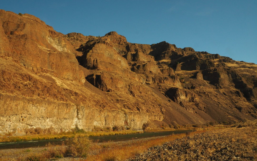
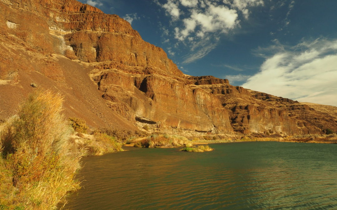
Vicinity Location:The trailhead is about 107 miles east of Portland, Oregon. Directions:From Portland, take I-84 E to exit 97. Take OR-206 E and drive for about 30 miles to Cottonwood Canyon State Park. Turn right just before the John Day River and drive down to the...
by Steve Jones | Feb 29, 2020 | Dayhikes, Hiking, Mountain Biking |
Note: The Pinnacles trail is closed at the 3 mile point from February 1st to August 31st to protect Golden Eagle nesting. The trail could open early if the nesting fails or the hatchlings fledge early. Golden Eagles fall under the Bald and Golden Eagle Protection Act...
by Steve Jones | Nov 11, 2019 | Dayhikes, Hiking |
Vicinity Location:The trailhead is about 38 miles southeast of Portland, Oregon in the Mt. Hood National Forest. Directions: From Portland take I-84 East to the Wood Village, exit (16A). Head south and turn left onto NE Burnside Rd. Heading East, Burnside will merge...
by Steve Jones | Nov 9, 2019 | Dayhikes, Hiking
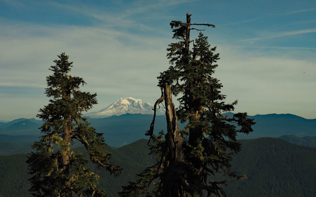
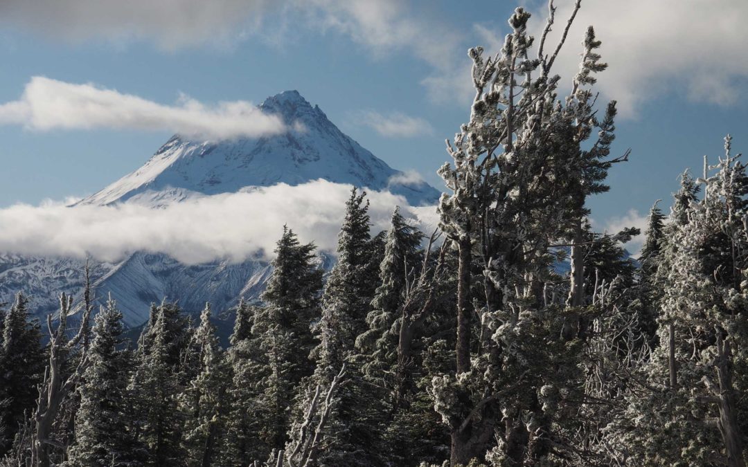
Vicinity Location:The trailhead is about 42 miles northeast of Portland, Oregon in the Gifford Pinchot National Forest. Directions:From Portland, Oregon, there are two ways to drive to the trailhead. If you have an extra 30 minutes then make your trip a loop drive....
by Steve Jones | Oct 11, 2019 | Dayhikes, Hiking |
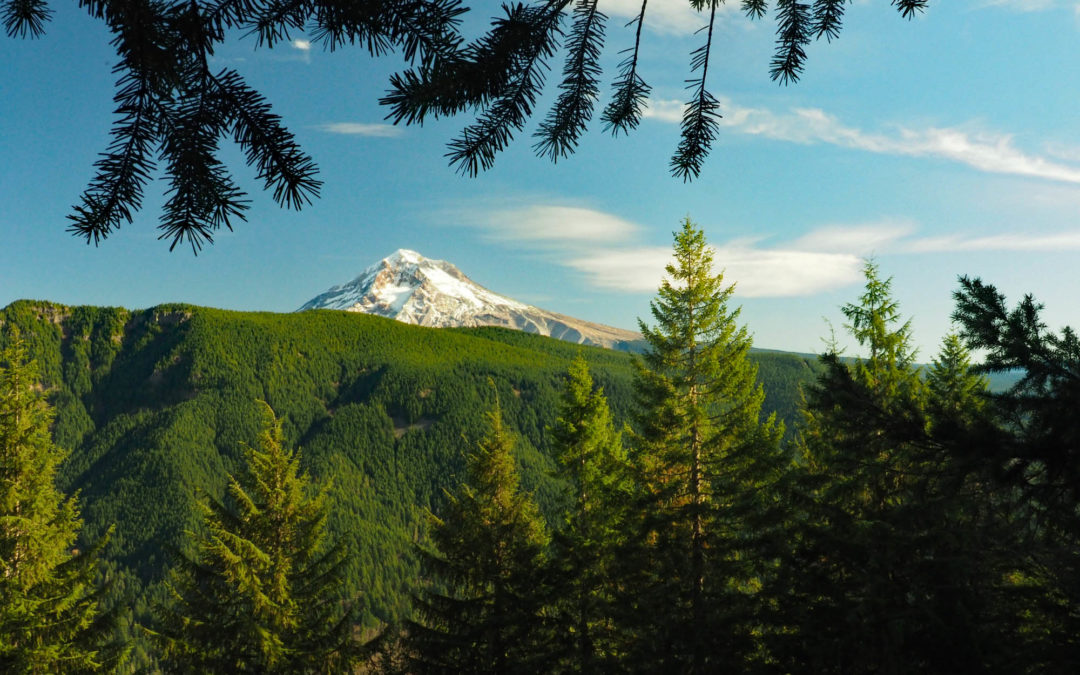
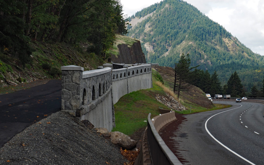
Note: The trailhead becomes snowbound because the road is not plowed. Vicinity Location:The trailhead is about 57 miles east of Portland, Oregon in the Mt. Hood National Forest. Directions:From Portland, take I-84 east for about 55 miles and take exit 64 in Hood River...
by Steve Jones | Oct 3, 2019 | Biking, Dayhikes, Easy Hikes, Hikes with Kids, Hiking |
Vicinity Location:About 35 miles east of Portland, OR in the Columbia River Gorge National Scenic Area. Directions:From Portland, Oregon, take I-84 east to the Wyeth exit, turn right at the bottom of the off ramp, in about 50 feet turn right again onto Herman Creek...
Recent Comments