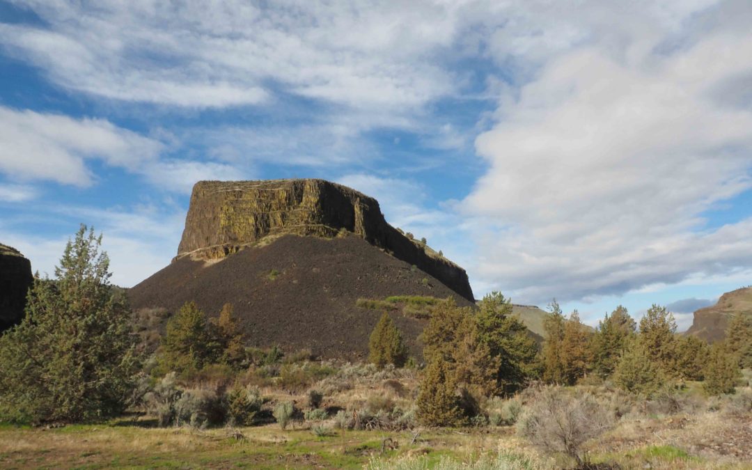
by Steve Jones | Aug 31, 2023 | Backpacking Trips |
Vicinity Location:About 90 miles southeast of Portland, OR in the Deschutes National Forest.Directions:From Portland drive east on Highway 26. Pass by Government Camp and in about 2 miles stay left at the junction with Highway 35 and continue on Highway 26 towards...
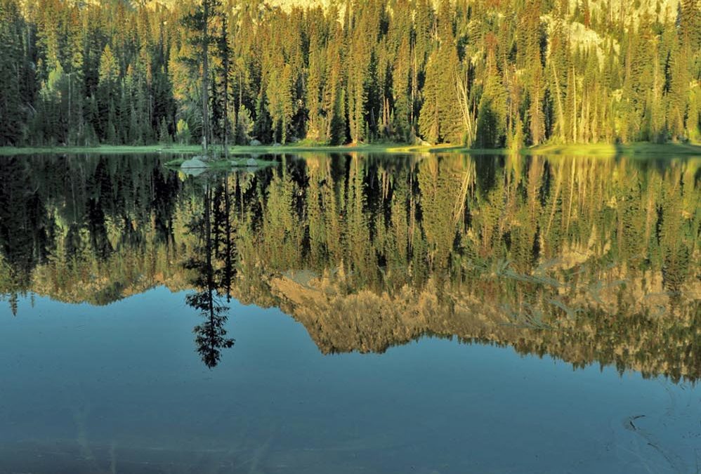
by Steve Jones | Aug 17, 2023 | Backpacking Trips |
Vicinity Location: The trailhead is about 220 miles east of Portland, Oregon in the Wallowa-Whitman National Forest and North Fork John Day Wilderness. Directions:From Portland Follow I-84 E to for about 280 miles and take exit 285 from I-84 E in North Powder. Take...
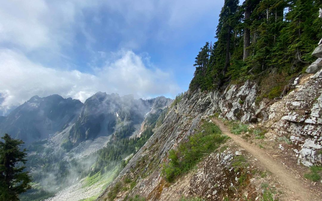
by Steve Jones | Aug 6, 2023 | Backpacking Trips |
Vicinity Location: The trailhead is about 207 miles northeast of Portland, Oregon in the Alpine Lakes Wilderness and the Mt. Baker-Snoqualmie National Forest. Directions:Set up a car shuttle between the Stevens Pass and Snoqualmie Pass trailheads. Parking at the...
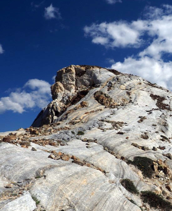
by Steve Jones | Aug 8, 2022 | Backpacking Trips |
Vicinity Location: The trailhead is about 265 miles east of Portland, Oregon in the Eagle Cap Wilderness. Directions: From Portland, drive I-84 east from Portland for about 260 miles and take Exit 261 for Highway 82, La Grande and Elgin. After exiting, turn right for...
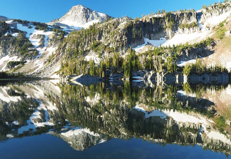
by Steve Jones | Aug 8, 2022 | Backpacking Trips |
I’ll get the mileage and elevation updated with our GPS tracks but this is pretty close for now. Date Start Stop/Camp Trail Distance (mi) Side Trip/s Distance (mi) Total Day (mi) 7/21 Sean’s house Joseph, OR N/A 322.4 322.4 7/22 Joseph, OR Two Pan TH...
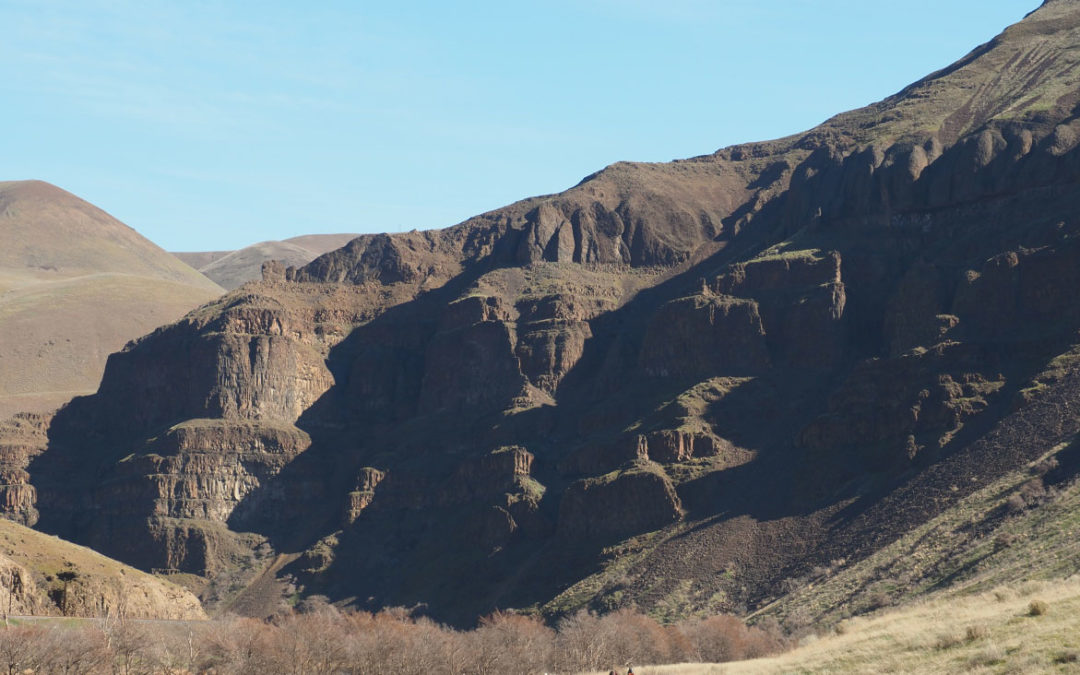
by Steve Jones | Mar 19, 2022 | Backpacking Trips |
Vicinity Location: The trailhead is about 87 miles southeast of Portland, Oregon in the Lower Deschutes BLM lands. Directions:From Portland to Macks Canyon take I-84 East to the Wood Village, exit (16A). Head south and turn left onto NE Burnside Rd. Heading East,...


Recent Comments