
NOTE: Road restrictions and closures can occur during the winter. The highway from Longmire to Paradise may not open until 9:30 a.m. or later. Inquire about the road opening time before you go. Call 360-569-2211 and press 1, 1, 2 at each prompt. You can usually see road closures and opening times at twitter.com/MountRainierNPS
Vicinity Location:
About 14 miles east of Ashford, WA in Mt. Rainier National Park.
Directions:
From Seattle, take I-5 South to Hwy 512 East and go towards Puyallup (Exit 127). Follow Hwy 512 East for about 2 miles. Turn south onto Hwy 7 towards Mt. Rainier. Follow Hwy 7 south to Elbe. At Elbe, turn left onto Hwy 706, travel through Ashford, and then to the Nisqually entrance of Mt. Rainier National Park. Now, follow the last paragraph of the directions.
From Portland, take I-5 North and take exit 68 to Hwy 12. Take Hwy 12 for about 30 miles to Morton. Turn left into Morton on Hwy 7 and drive about 17 miles to Hwy 706. Turn right on Hwy 706 and drive to the Nisqually entrance on the west side of Mt. Rainier National Park. The drive take about 3 1/4 hours.
Once you are in the park, continue about 18 miles on the Longmire-Paradise Road. If you are in the park by 9 a.m. then you can follow the signs and probably park at the Paradise Inn parking lot. On busy weekends the parking lots around the Paradise Visitor’s Center can fill by 10 a.m.
Flush toilets available near the parking lot Paradise Inn.
You can see avalanche forecasts here: Northwest Avalanche Center
National Weather Service Snow Level forecast: West Slopes South Central Cascades
National Park Entrance fee of $30.00 for a car or $25 for a motorcycle and a single passenger or Annual Pass is required to enter the park.
Length and Elevation:
5.5 miles round trip using the approximate route of the Skyline Trail. Elevation gain 1,780 Feet and loss of 0 feet to the junction for Upper Skyline Trail and Pebble Creek Trail. Total gain and loss is 3,460 feet round trip. Elevation at the trailhead at 5,430 feet, highest point is at 7,210 feet. Lowest elevation is 5,430 feet.
Trail:
Skyline Trail, Upper Skyline Trail, Fourth Crossing Trail, and Paradise Valley Road.
Trail Maps:
Topo Map, National Park Winter Map, Download Garmin .gpx file
Review: January 1, 2013
Winter at the Paradise area of Mt. Rainier offers a variety of snowshoe choices. Be sure to thoroughly evaluate avalanche hazards before venturing on any open slopes. In winter always download your planned route to your phone or GPS unit.
Start by heading towards Paradise Inn, which is closed in winter, and stay on the uphill side. This first part is usually groomed by a snowcat and is heavily touristed. After about .25 mile you can leave the groomed track and pick a route up to the Alta Vista viewpoint. The views from here just get better and better most days.
Continue working your way to so that you are generally on top of a ridge that joins the huge bulk of Mt. Rainier. From the ridge you have views to the east of a large bowl that contains Edith Creek which is the water source for the Visitor’s Center and Paradise Inn. To the west you can see towards the Nisqually entrance.
Look for the track used by the most people and follow that higher and higher. You’ll see snowshoers and backcountry skiers on the slopes. Look at the slopes in the bowl for signs of avalanches. You are about to ascend a fairly steep slope and if the avalanche danger is considerable then this would be a good point to turn around.
Continuing up you’ll feel the burn in your calves if your snowshoes don’t have popup ascenders made for steep slopes.
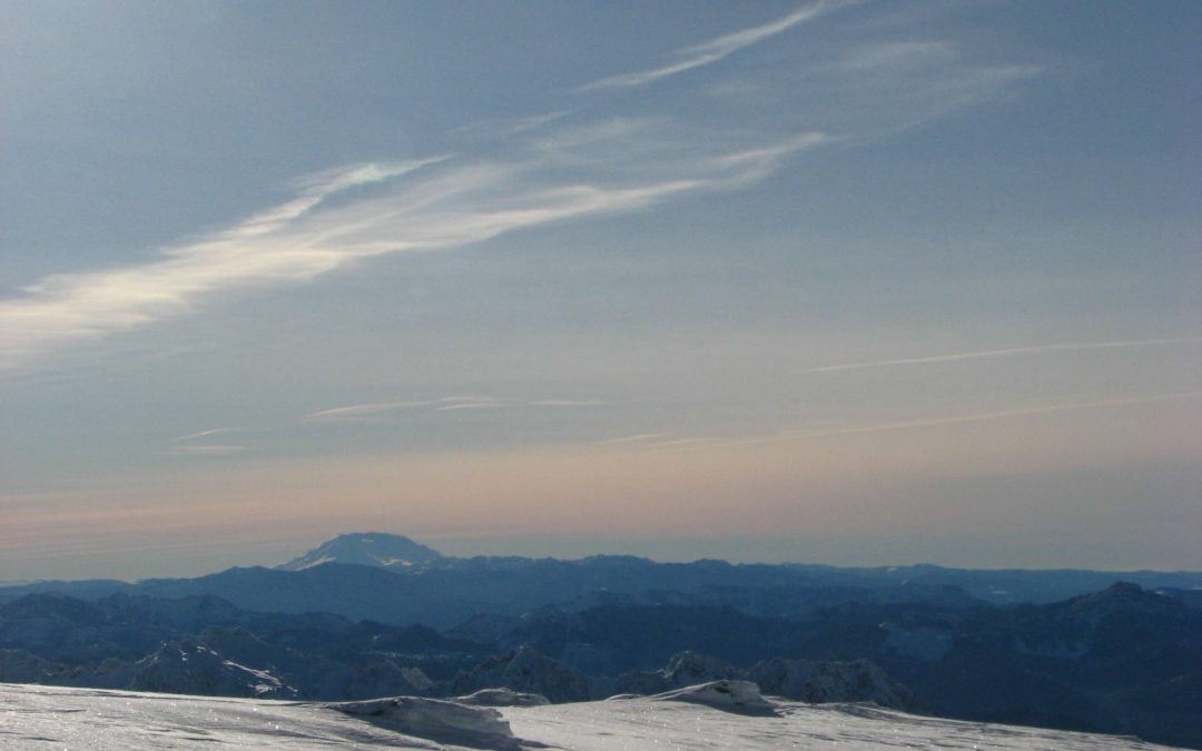
There are a few scraggly trees here and the ice rime can make beautiful sculptures with them. Climbing higher you eventually get to a flatter area at the top of Skyline Trail. From here are panoramic views of the Tatsoosh Range to the south and Goat Rocks to the East. Mt. Adams, Mt. Hood, and Mt. St. Helens can be easily seen on a clear day. Of course, majestic Mt. Rainier soars before you covered in a mantle of glaciers and snowfields.
Continue heading northeast towards McClure rock and begin to make your way over to the east side of the bowl. There are multiple ways to descend but sticking to the ridgetops is the best and most scenic path.
From here make your way down to Fourth Crossing Trail. Stay to the south side of the creek and be careful not to get too close because the snow could collapse and tumble you into the creek. Work your way down to Paradise Valley Road which is not plowed in winter. Keep a lookout into Paradise Valley because foxes travel through there fairly often. Head up the unplowed road past Edith Creek and back to the parking lot enjoying the views of Paradise Valley and all the mountains.
Enjoy the Photos!
Gallery Pics
Switchback Steve

Recent Comments