
Vicinity Location:
About 32.5 miles northeast of Portland, OR on the north shore of the Columbia River in the Gifford Pinchot National Forest.
Directions:
From Portland take I-205 North; drive past the Portland Airport Exit and cross the Columbia River. Move over to the right lane as you cross the bridge. Take exit 27 for Vancouver/Camas and move into the left lane on the off ramp heading towards Camas. Follow SR-14 to Beacon Rock State Park at Milepost 35.
A State of Washington Discover Pass is required for parking. Difficulty finding parking on weekends.
Flush toilets are seasonally available at the trailhead. Water is available seasonally at a faucet between the trailhead and the bathrooms.
Note: The day use park and trail are closed from dusk to 8am.
Length and Elevation:
2 miles roundtrip. Elevation gain and loss is 1,200 feet total. Elevation at the trailhead is 250 feet and the summit, at 848 feet, is the high point. The low point is 250 feet.
Trail:
Beacon Rock Trail
There is at least one geocache, an Earthcache, for this trail at: N 45° 37.728 W 122° 01.295 Info at Geocaching.com
Dogs must be kept on a 6 foot or shorter leash.
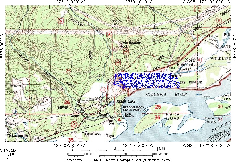
Trail Maps:
State Park Map, Topo Map,
Download Garmin .gpx file
History:
Beacon Rock is the core of a volcano that erupted about 57,000 years ago and has been exposed from the Missoula floods. The ice-age floods scoured the softer rock of the volcano away and left this 848 foot tall andesite plug. This column of basalt is one of the world’s largest monoliths.
Native Americans called this rock Che-che-op-tin, meaning “the Navel of the World.” Beacon Rock was named by Lewis and Clark on October 31, 1805. It was near Beacon Rock that Lewis and Clark first measured tidal influences on the Columbia River from the Pacific Ocean.
In 1811, Alexander Ross of the John Jacob Astor expedition called the rock Inoshoack Castle. The rock became known as Castle Rock until 1916, when the United States Board of Geographic Names restored the name back to Beacon Rock.
In the early 1900s, the Army Corps of Engineers planned to destroy Beacon Rock with dynamite. Railroad officials opposed the idea because they didn’t want the blasting to drop boulders onto the train tracks. Their opposition was enough to get the demolition stopped. Another idea was to use Beacon Rock as a rock quarry.
In the late 1910s, Henry J. Biddle purchased Hamilton Mountain, Biddle Butte, and Beacon Rock to preserve it. Henry Biddle is quoted as saying “My purpose in acquiring the property was simply ans wholly that I might build a trail to the summit.” The trail to the top of Beacon Rock was begun October 1915 and completed in April 1918. Henry Biddle died in 1928 and in 1935 his heirs turned over Beacon Rock and Hamilton Mountain to the state for use as a park.
Review: February 28, 2010, November 29, 2019
The trail climbs gradually from the parking area to the base of Beacon Rock. The whole trail has a moderate elevation gain because of all the switchbacks. The beginning of the trail is a wide, gravelled path.
The trail climbs up the west face for several switchbacks, then climbs the south face, sometimes looping over itself on a bridge.
The sounds of the road soon die away as you climb up the trail. Except for the freight trains honking their horns as they pass through the Gorge, this is a surprisingly quite trail.
After climbing about 30 little switchbacks, the trail moves over to the east side of Beacon Rock and climbs up a steep and forested slope. Finally the trail crosses back to the west side and ascends two more switchbacks to the viewpoint at the top of Beacon Rock.
Rock climbers also scale Beacon Rock using the Northwest face of the rock. While that section is open to climbers, other rock faces are typically closed to climbers.
The plants that grow here on the steep basalt cliffs have to fight for existence in scarce soil and the hot summers. Vegetation on the east side of Beacon Rock has more soil and Douglas Fir trees have been able to gain a foothold and grow here.
From the summit, there are good views of the Gorge and surrounding mountains. Be sure not to step past the railings because of the sheer cliffs.
On the way back down you may want to count and see if there really are 52 switchbacks in the trail.
There are several plaques and signboards along the trail that talk about how Beacon Rock came to be, and how the trail was constructed.
This hike can be combined with parts of the Hamilton Mountain hike for an enjoyable short or long dayhike.
This trail is enjoyable for children under control of an adult. There are railings all along the trail for safety. Do not go past the railings because trail is right at the edge of the sheer rock cliffs in many places.
Enjoy the photos!!
Gallery Pics
Switchback Steve
Recent Comments