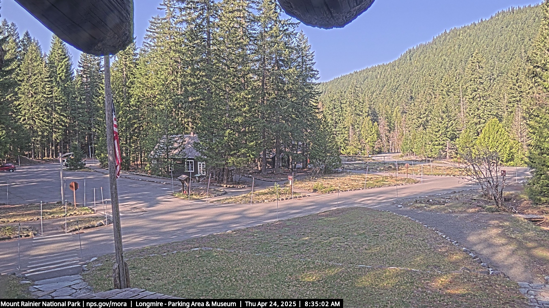
The Camera looks southwest from the Administrative Building on the southwest side of Mt. Rainier National Park.
Map location for camera: Lat. 46.7500N Long. 121.8114W
Camera courtesy of
the National Park Service.
Mt. Rainier National Park Longmire Webcam Website.
National Weather Service
7 Day History for Ashford, WA, 10 miles west of Longmire, WA.
Elev: 1421 ft; Latitude: 46.7553; Longitude: -122.1097
(Click the reload button for the most recent image.)