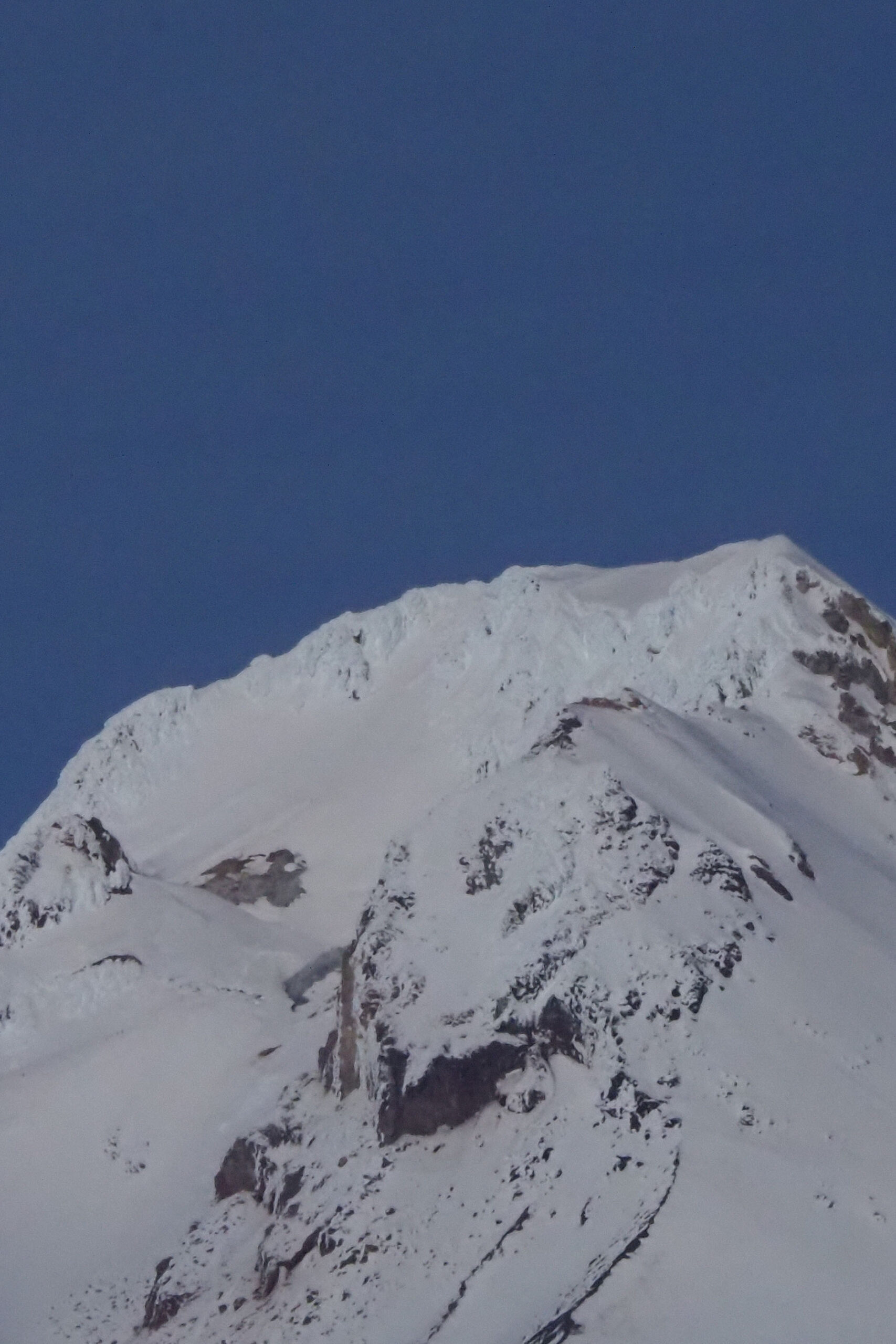
Mt. Hood is beautiful any time of year. This is taken from Ghost Ridge
Corona Arch National Recreation Trail, Utah
Find the large parking lot on your right.No permits needed to park.Bathroom at the trailheadThe trail starts out going up stone steps and then is level for a short distance and crosses a railroad track. It is a gentle climb until the trail goes around a corner then it...
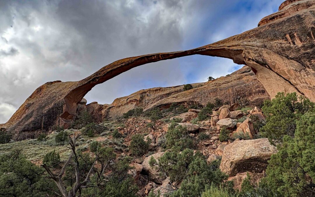
Devil’s Garden Trail, Utah
Vicinity Location: 814 miles southeast of Portland Oregon near Moab, UT in Arches National Park There are bathrooms in the parking lot. No pets allowed on this trail, and most National Park Trail National Park Entrance fee of $30.00 for a car 7 day pass or $25 for a...
Recent Comments